Take on a 5-day, 78km loop hike in Killarney Provincial Park

Looking for a remote wilderness trail with a private lakefront campsite every night? La Cloche Silhouette Trail in northern Ontario is pristine and perfect, with easy permits and the logistical simplicity that comes with any loop trail.


Eh Canada! I love you!
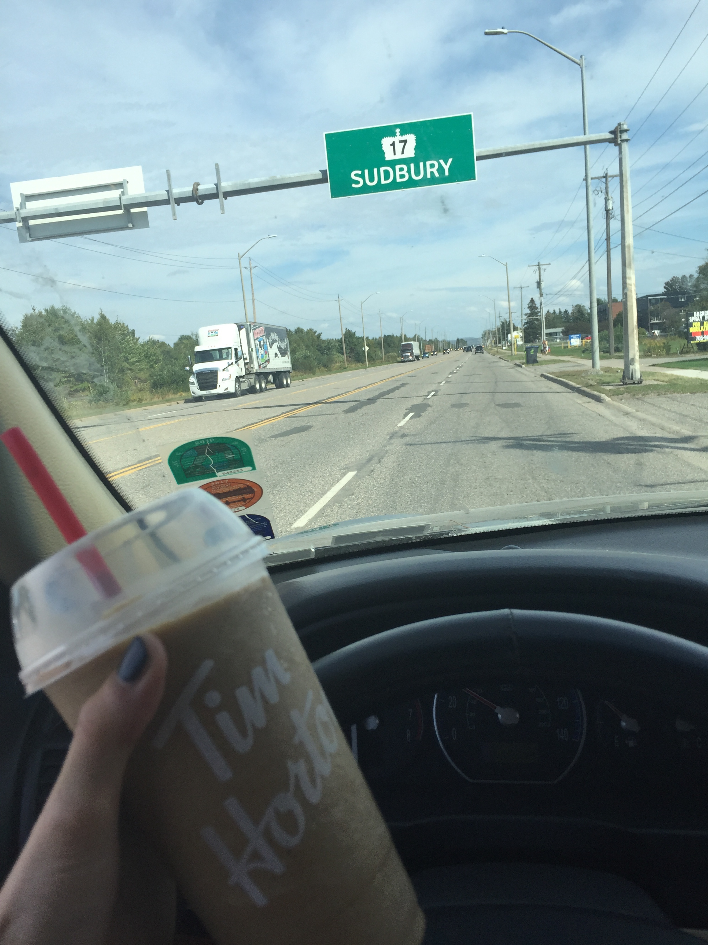
Killarney Provincial Park is roughly equidistant from Toronto and Sault Ste Marie, just about four hours’ drive either way, and is an hour and a half from Sudbury, the closest city large enough to really stock up on groceries etc. Much closer is the town of Killarney, about ten minutes from the park entrance, but it’s a blink-and-you-miss-it fishing village with just a little general store with a small, dusty selection of convenience store-type foods, toiletries, and household goods. Visit Killarney for a takeout lunch at Herbert Fisheries or to treat yourself to a swanky overnight at one of the waterfront resorts facing St George Island.
I was solo and committed to a hiker trash trip, so I car camped the night before starting my thru hike at the developed George Lake Campground, which was busy but adequate, with awesome restrooms (super clean and heated floors!), a picnic table for cooking dinner and organizing gear in style, and ice cold pop in vending machines.
I was up before dawn, too excited to sleep, and got an early start, avoiding the crowds of day hikers around the only easy access point on the entire La Cloche loop–except for Day 1 and Day 5, when I circled back to the trailhead, I only saw a small handful of people.

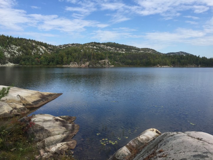
This was my itinerary for a 5-day trip, for a total of about 58 miles including spur trails and side trips. You could easily spend much more time here, as all of the sites are on great swimming or fishing lakes with gorgeous views all to yourself. There are also a lot of paddling routes and sites you could take advantage of, to have access to even more remote spots.
Day 1: I left my car at “The Crack” parking lot, about a half mile down a spur trail from La Cloche Silhouette Trail. Going clockwise, I hiked ~12 miles to campsite H16 on Threenarrows Lake.
Day 2: ~7 miles, camped at H21 on the tip of a peninsula on a different section of Threenarrows Lake
Day 3: ~6 miles, camped at H32 on Shigaug Lake
Day 4: Side trip to Silver Peak (~3m), although it was completely socked in with fog so no views. Still worth a try! Total ~ 16 miles, camped at H37 on Silver Lake
Day 5: ~17 miles back to the car
The distances per day were pretty uneven but manageable. Dispersed camping isn’t allowed in Killarney (except in winter, when camping at the established sites is prohibited) and you need to reserve specific sites, all of which only hold one party.
Figuring out an itinerary on the fly while on the phone with (incredibly gracious and patient) park staff was definitely the most complicated part of the trip, as there was no way to reserve backcountry sites online or even find out which ones are available on which dates at the time of my trip (September 2019).
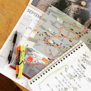
I had made a short list of crowd-sourced “best sites” ahead of time and had my calendar in front of me when I made the phone call to the parks office, as well as this map (which I cut to size and used heavily during the trip itself as well) and this mileage chart. I was also open to traveling counter-clockwise if needed, based on which campsites turned out to be available and when.
Ontario Parks’ new online registration system looks way easier than all that, so planning a sweet itinerary these days should be a snap. You can reserve sites online up to five months ahead of time.


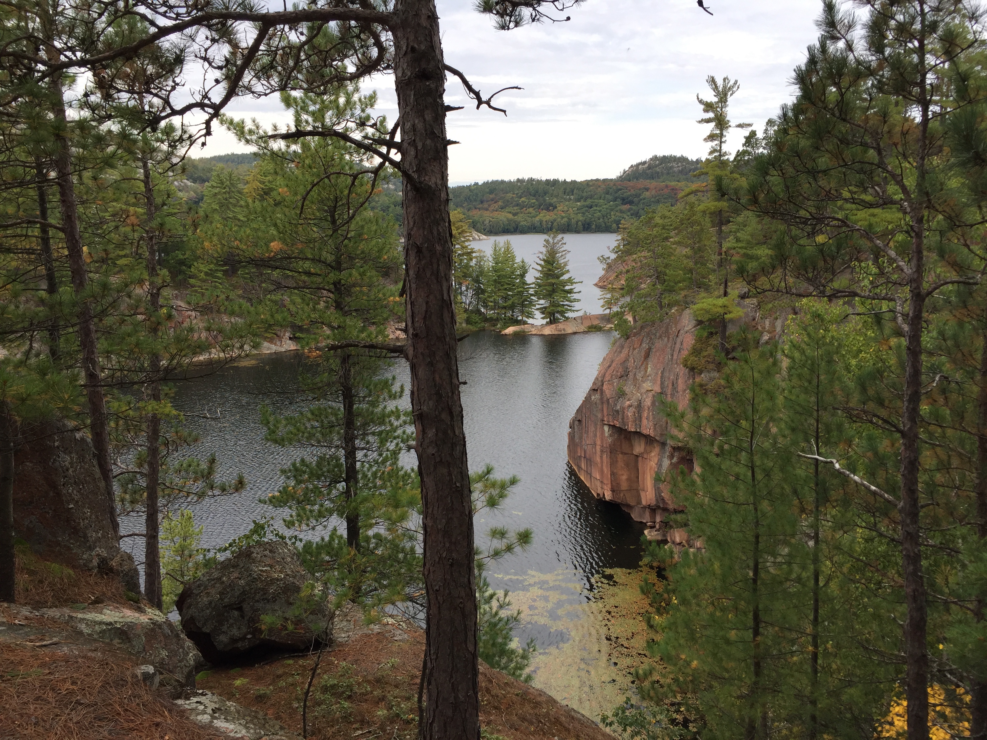
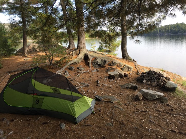
Having a private lake every night right out your front door, combined with a firepit at most campsites, makes it almost impossible not to skinny dip.
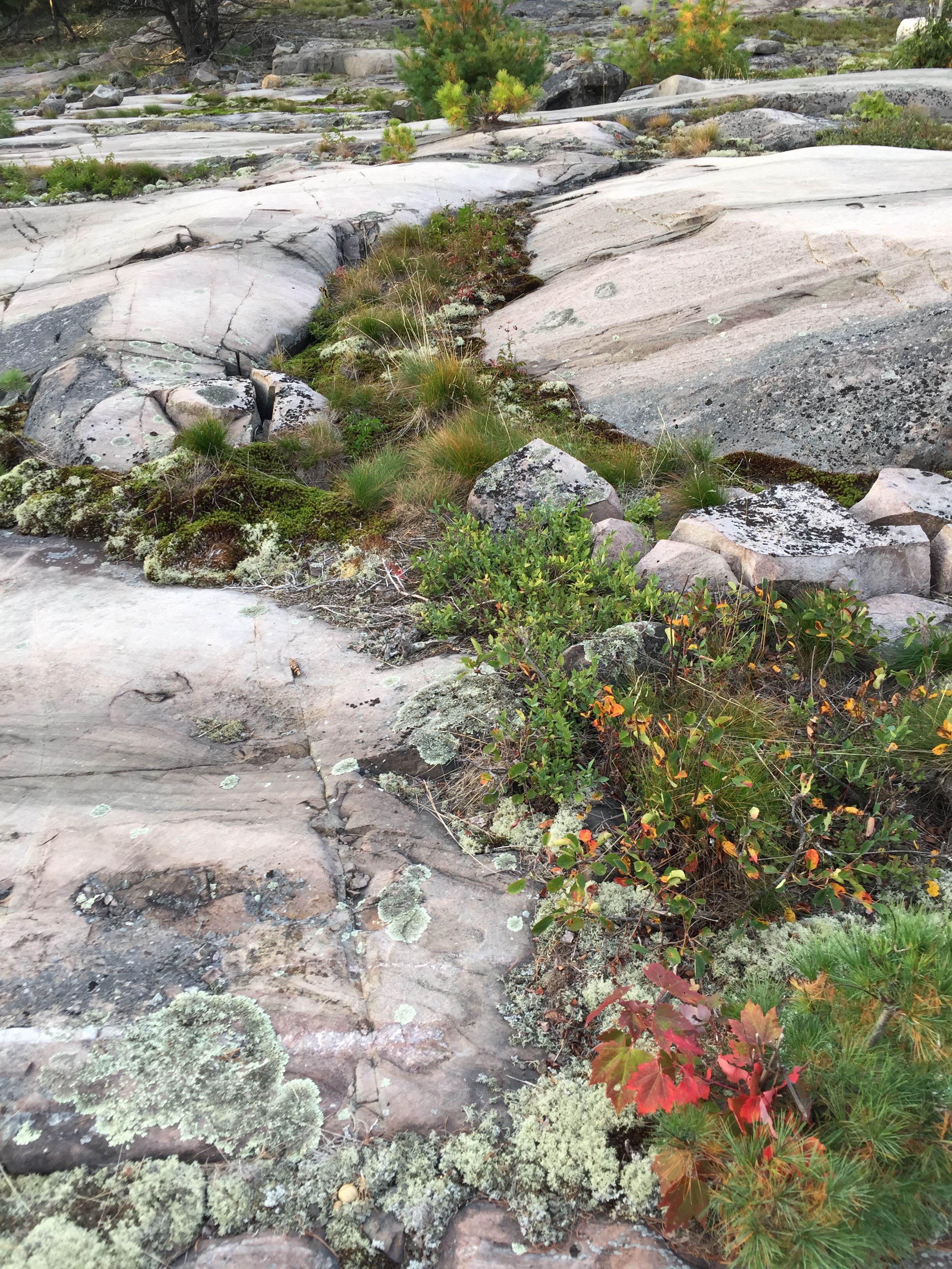
The trail itself was fairly well-marked but not always obvious, and I relied on my paper map and compass quite a lot. On the granite and quartzite bluffs where there wasn’t a worn trail or trees for trail markers, there were cairns marking the general direction of travel, which was helpful. There were some sections of fairly challenging scrambling, which were my favorite parts of the trail, including one short but memorable section where the trail officially climbs up the face of an actual waterfall. Nice!


It rained about half the days on my trip and most nights, but the temps were pretty mild (roughly, highs in the 60s-70s, lows in the 40s-50s during a normal September). Perfect hiking weather! This is my home climate type, so I’d feel very comfortable scheduling trips here from June-September, with tempting shoulder season opportunities in May and October, depending on the weather.
If you don’t have much experience staying warm and dry while hiking and backpacking, I’d recommend taking at least one or two short practice trips in crappy weather to test your gear and make sure you enjoy it. La Cloche has no bailout options, which is glorious if you’re looking for a peaceful, pristine wilderness trip–but could be dangerous if you’re not equipped to be self-sufficient.

You can find my solo three-season backpacking gear list here. Your needs and preferences may be different–for example, I don’t take a stove when I’m solo because I’d rather carry a lighter pack than eat hot food. (That changes in the winter! Winter gear list coming soon.)
Also, if you’re backpacking as a couple or a group, your list will likely be different. Drop me a line with questions or suggestions! I love the backpacking community and I’m looking forward to hearing from you.
Happy hiking!
